Maps from the Denver Public Library
An article about a behind-the-scenes visit to the Denver Public Library had a couple interesting a potentially D&D-useful things:
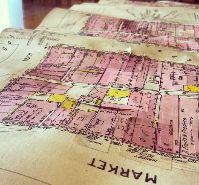
Peeling, partially unstuck, and warped into curling waves like oceans, the pages play host to a century or more of built structures, renovations, and replacements, keeping close tabs on what can be insured, for how much, and under what circumstances.
Botanical Profile representing the Forest Trees along the route explored by Lieut. A. W. Whipple, Corps. of Top. Eng., near the Parallel of 35º North Latitude, 1853-1854. Prepared by J. M. Bigelow, M.D., Botanist to the Expedition. U.S. Pacific Rail Road Exploration & Survey, War Department. 
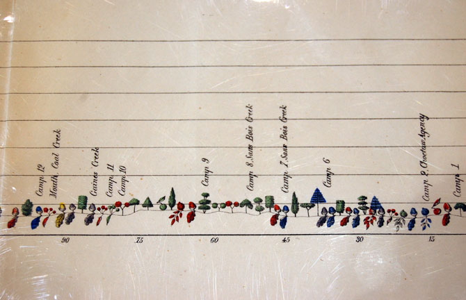
I can imagine this style of visualization being useful in adventure design, particularly for wilderness adventures.


![[svg]](https://devilghost.com/publications/character-sheet.svg)